28 mi
Arch Rock Entrance
The closest way into the park — 28 miles down Highway 140 along the Merced River. Start early: the gate queue builds through the morning.
Directions →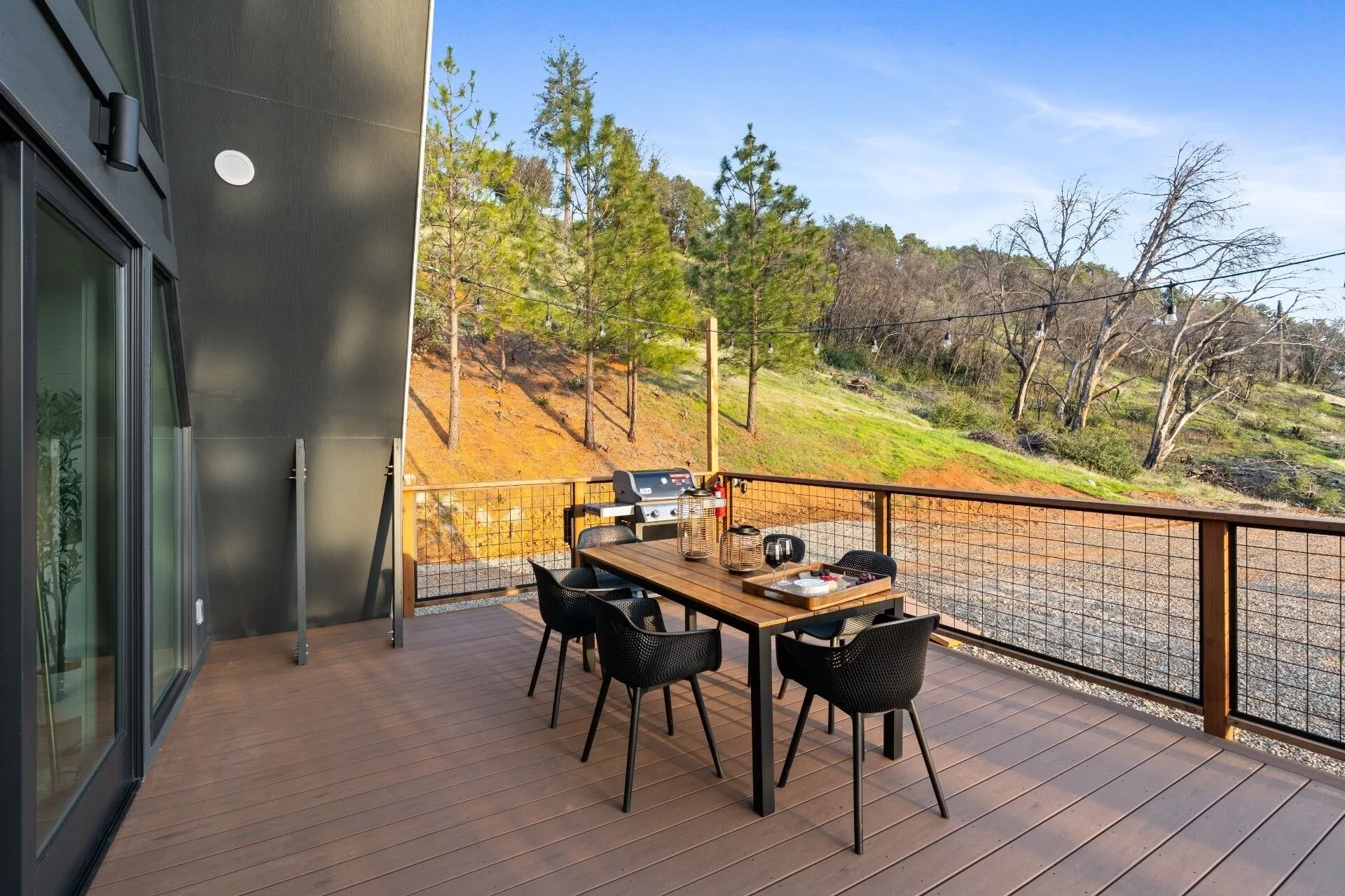
Everything we send guests who ask what to do while they are here — the park, the town, and the corners worth the drive.
Arch Rock is the closest gate — 28 miles, about 45 minutes down Highway 140, following the Merced River most of the way. Yosemite Valley is another ten miles or so past the entrance, roughly an hour from the cabin.
Leave early. The entrance queue builds through the morning, and an early start buys you the best light in the Valley.
Check whether you need a reservation. Whether one is required to drive into the park depends on the time of year, and the rules change — the park’s own page at recreation.gov/gateways/2991 is the current word.
There is a bus. YARTS picks up at Midpines County Park, a four-minute drive from the cabin, and runs into the park — useful on a day you would rather not think about the gate at all.
The drive in full → — the road, the timing, the driveway and what winter does to it.
The closest way into the park — 28 miles down Highway 140 along the Merced River. Start early: the gate queue builds through the morning.
Directions →El Capitan, Half Dome, Yosemite Falls and Tunnel View, about ten miles past the entrance gate.
Directions →Over 500 giant sequoias, including the Grizzly Giant and the California Tunnel Tree you can walk straight through.
Directions →
Mariposa carries more than a town its size should — a brewery, a hidden wine and beer bar, pizza, and the grocery run you forgot to do on the way up.
Beer, cocktails and mocktails with good indoor and patio seating — an easy stop on the drive back from the park.
Directions →A hidden gem just off Main Street: rotating craft beers, California wines, pretzels and cheese boards, sometimes live music or trivia.
Directions →Fresh pizza made in view of the counter, another fire survivor, with a wall of history built from the ruins out back and the Mariposa mural outside.
Directions →The full grocery run — bread, milk, eggs, everything you forgot to pack. Tesla Superchargers sit right outside.
Directions →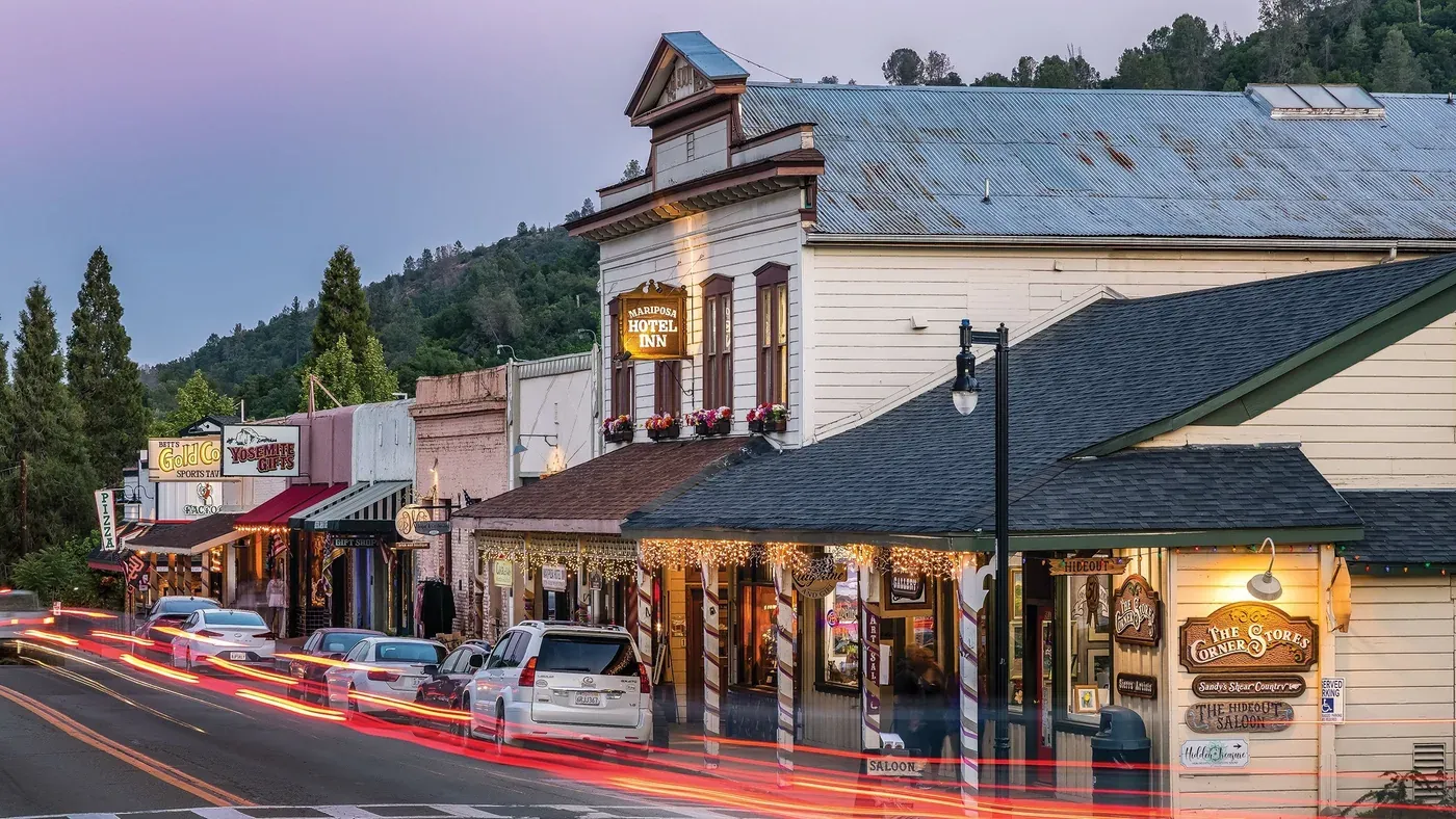
Historic Main Street is ten minutes away and genuinely old: 19th-century storefronts, a granite jail standing since 1858, and two museums worth an hour each.
The story of this 1850s gold-rush mining town, told well and worth an hour.
Directions →19th-century storefronts, boutique shops, and the Sierra Artists Gallery — plus the 1858 granite jail, still standing.
Directions →Artifacts, photographs and art tracing how climbing in Yosemite became what it is.
Directions →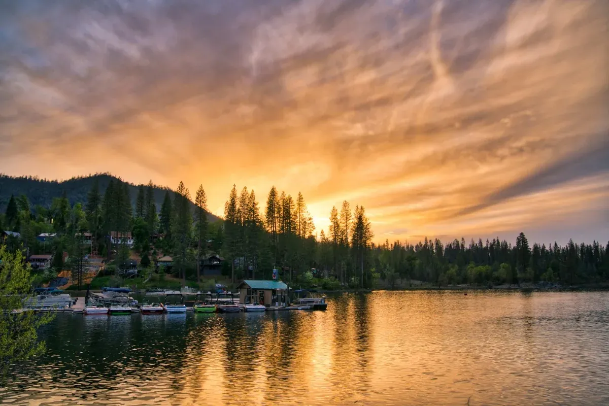
Yosemite's other gateway, and a lake to swim in — the slower way to spend a day when the Valley is busy.
A Sierra reservoir up Highway 41 — swim, paddleboard, kayak, or rent a boat for the day. A slower pace than the Valley crowds.
Directions →A narrated steam-train ride through Sierra National Forest out of Fish Camp, past old logging sites — a hit with kids.
Directions →Yosemite's other gateway town on Highway 41 — more restaurants and shops, plus the start of the Madera Wine Trail.
Directions →Everything here is a drive: the park is 28 miles east, groceries and dinner are ten minutes down the hill, and the lake and the sequoias are an hour each way. There is free parking at the cabin and a Level 2 charger on the deck if you arrive electric.
Dates matter too — the county's festival calendar is fuller than you would expect for its size. See what’s on while you’re here →
Three bedrooms, a hot tub under the pines, and 28 miles between you and Yosemite.
Book Now